

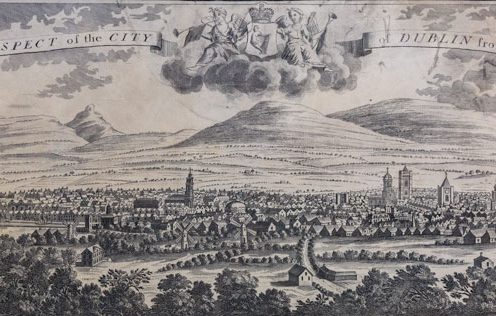
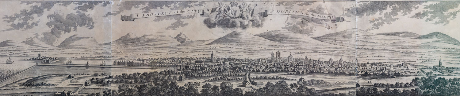
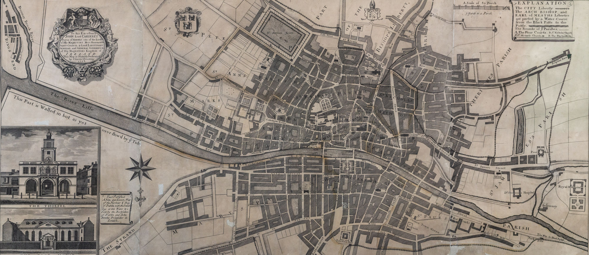
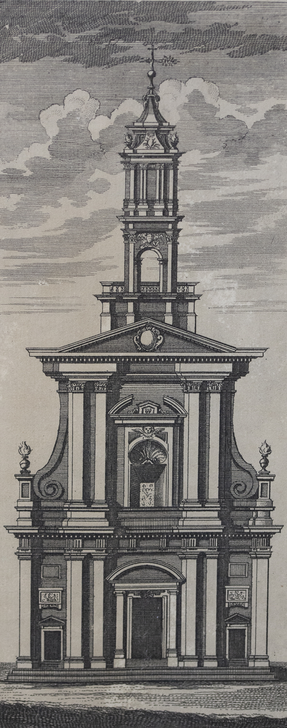
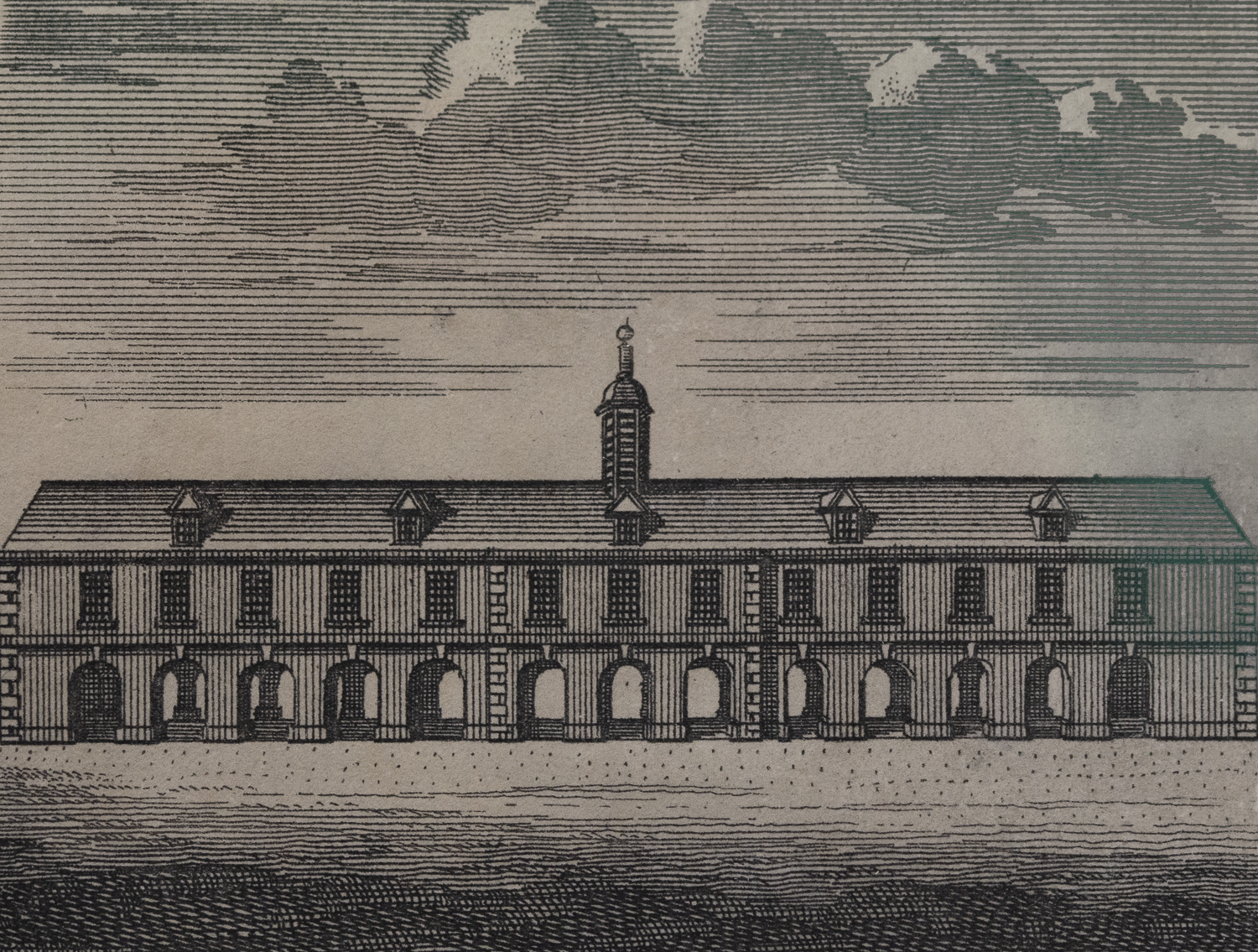
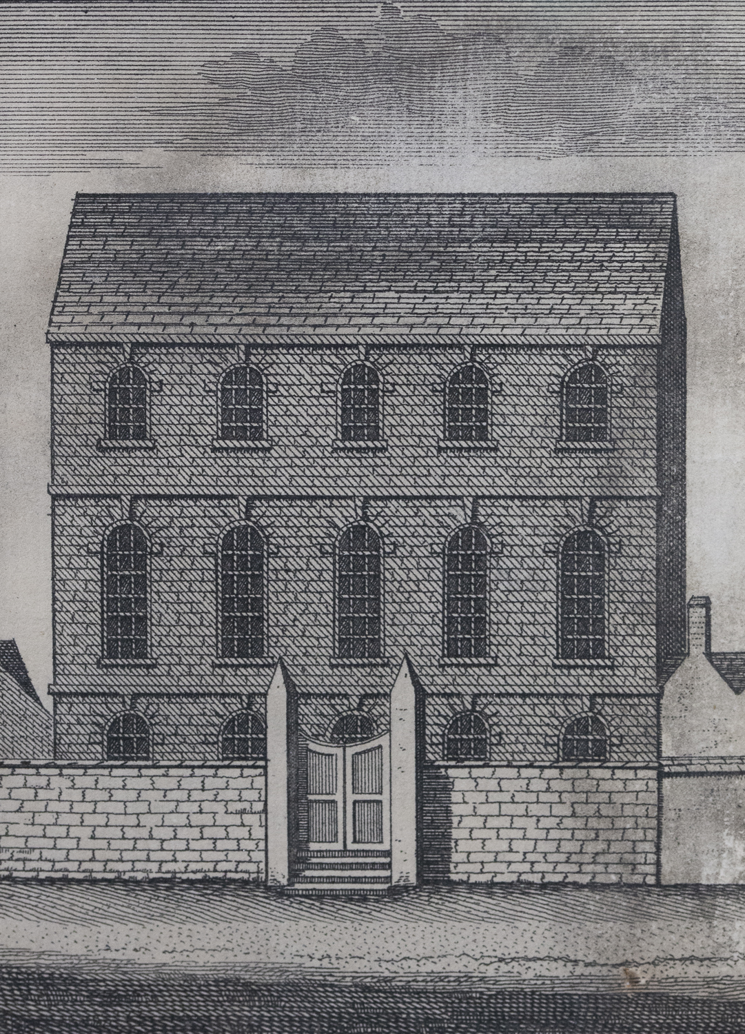
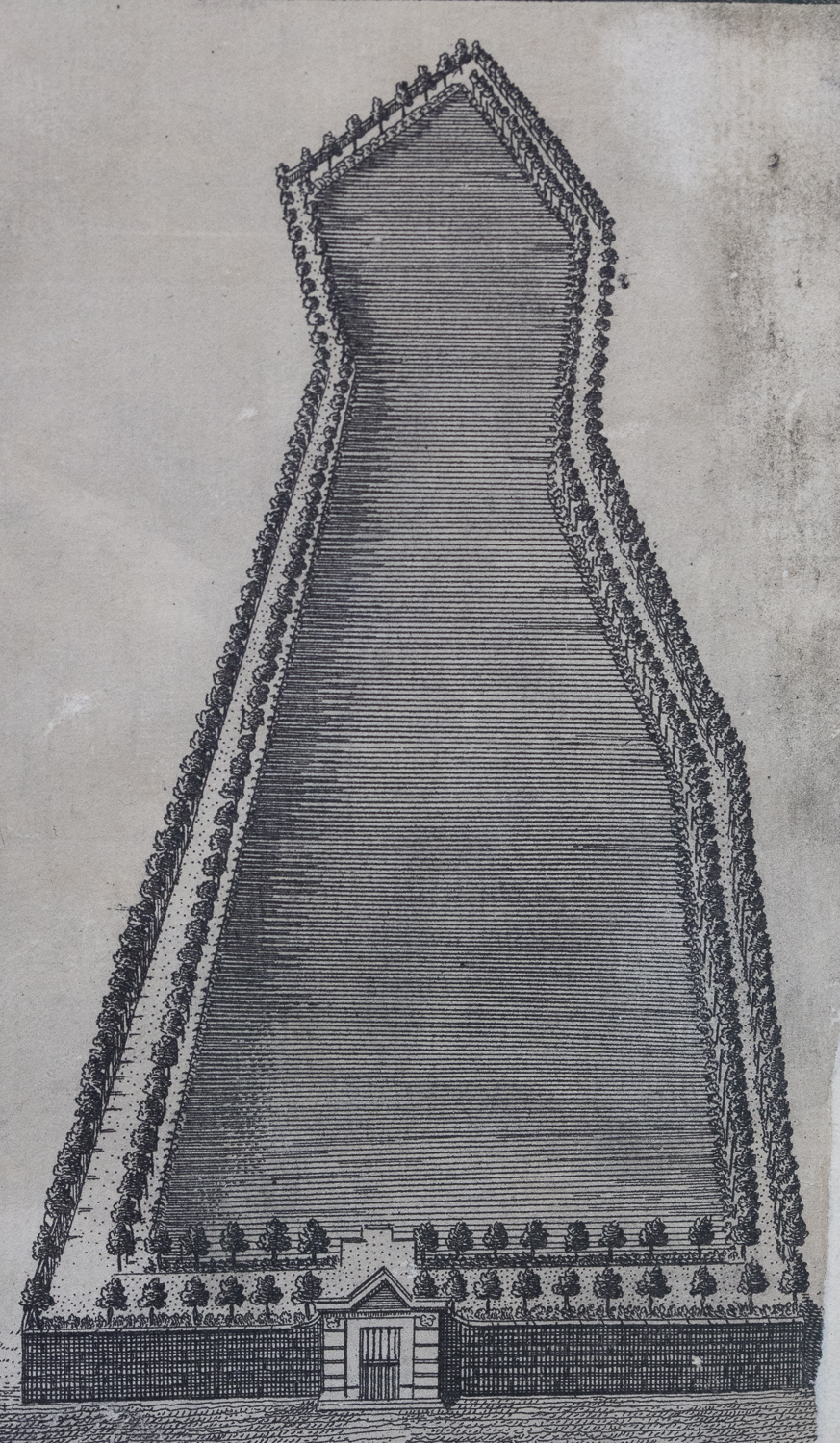
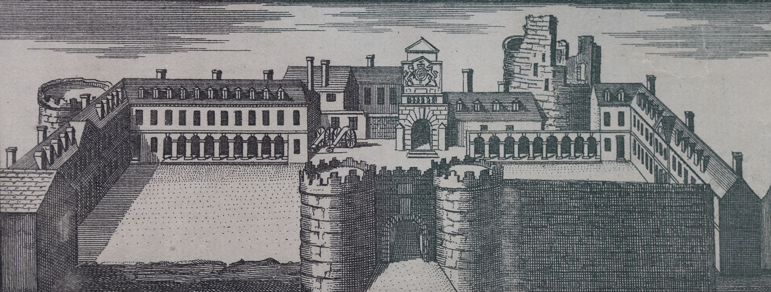
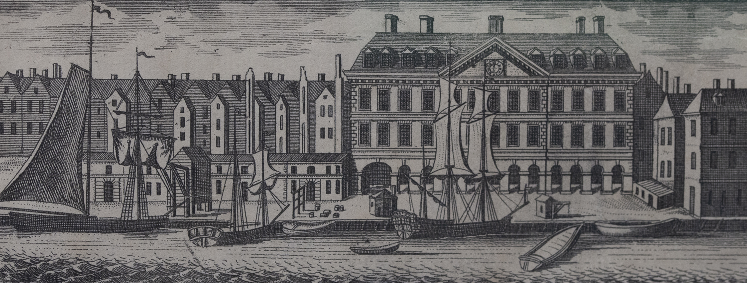
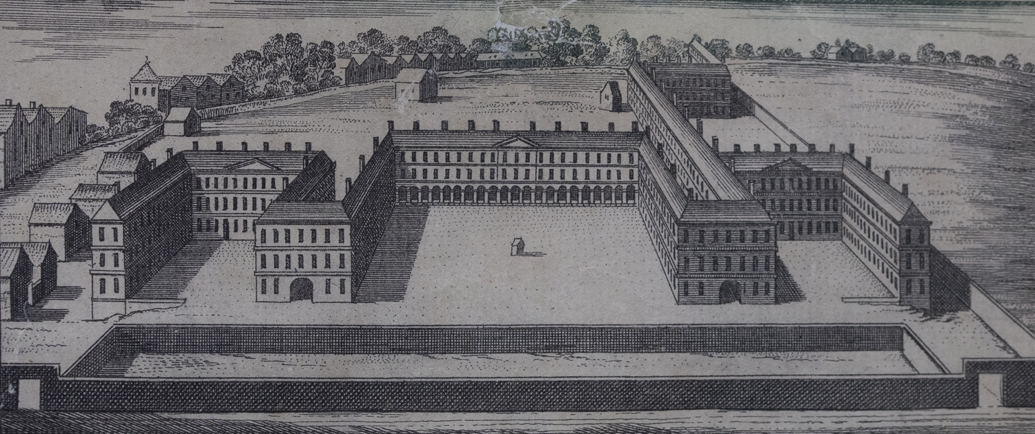
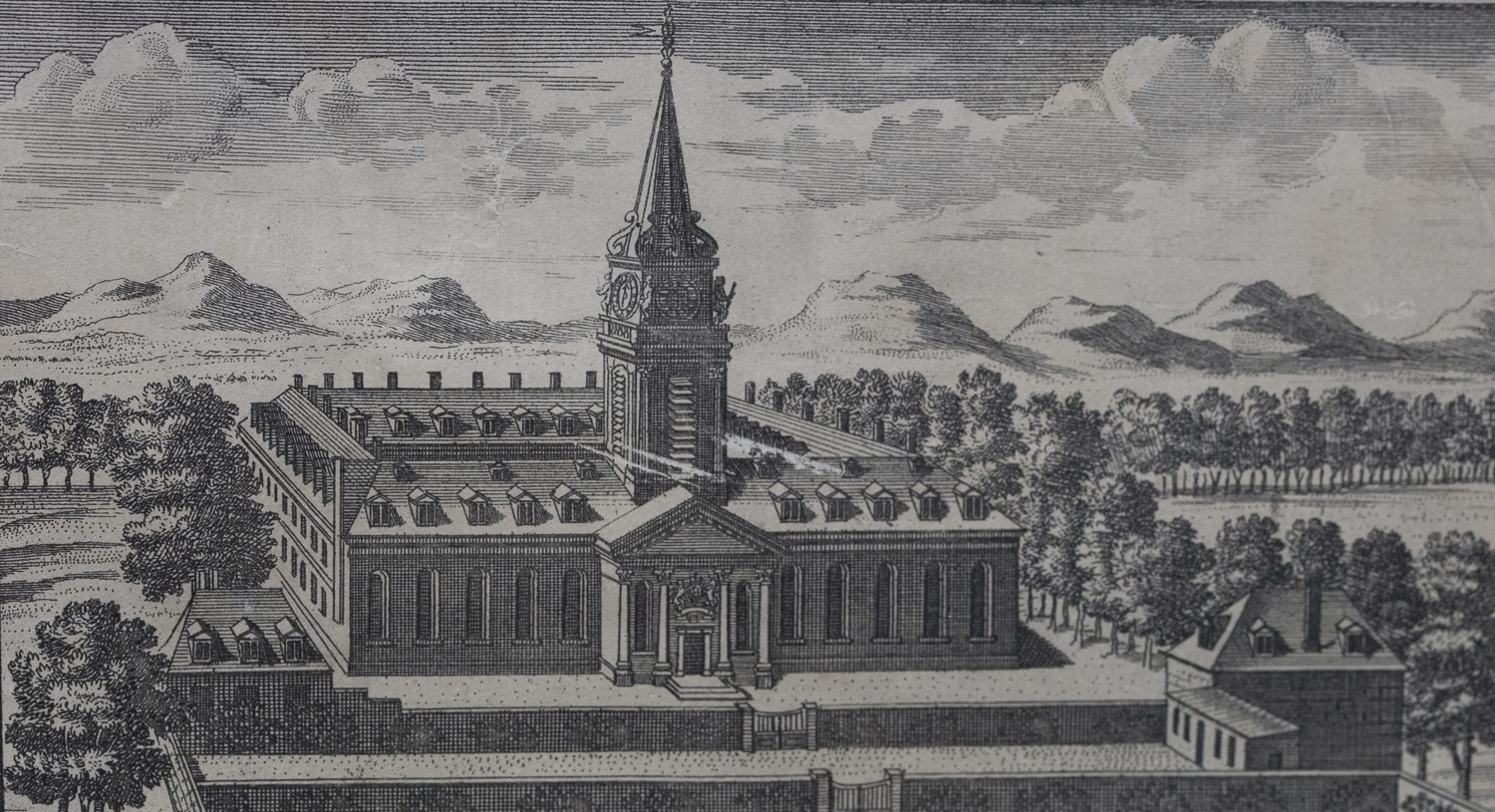
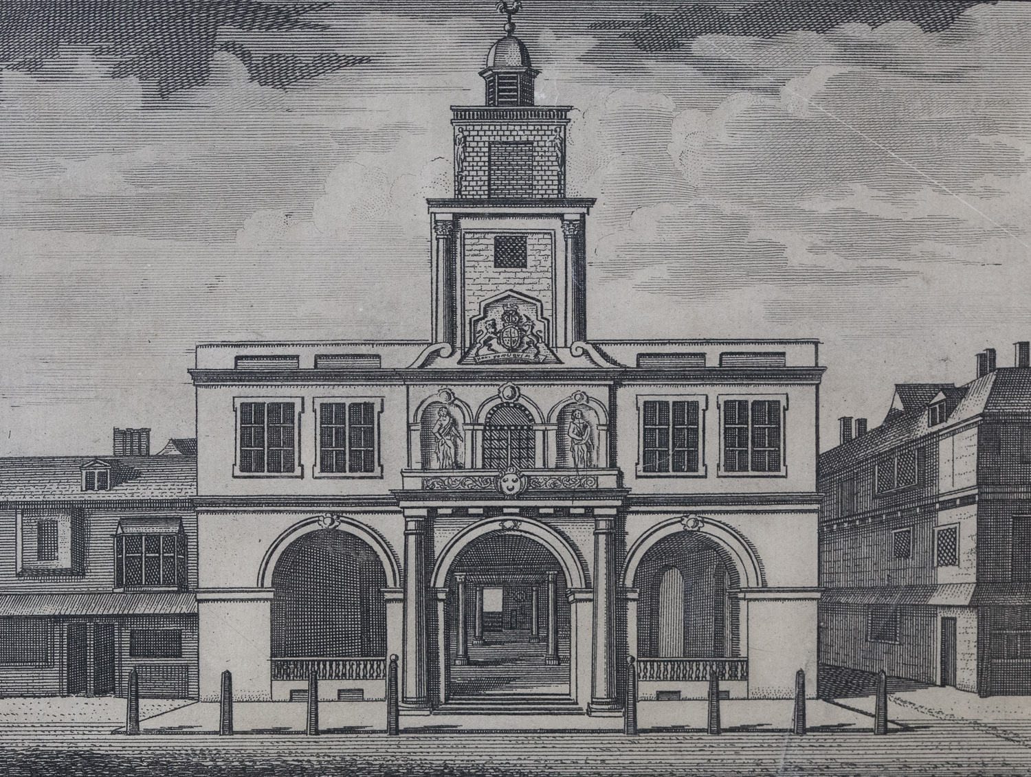
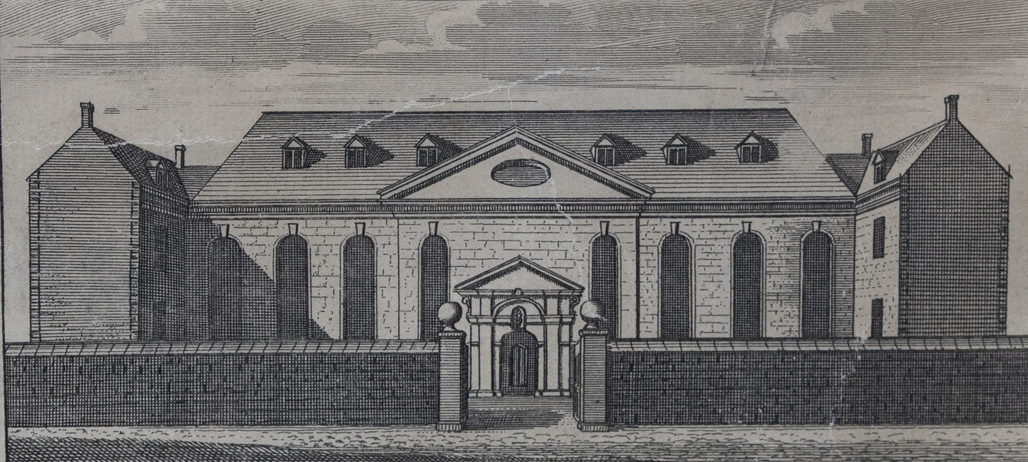
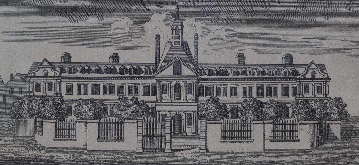
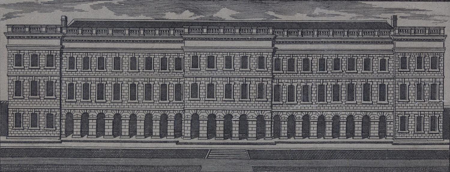
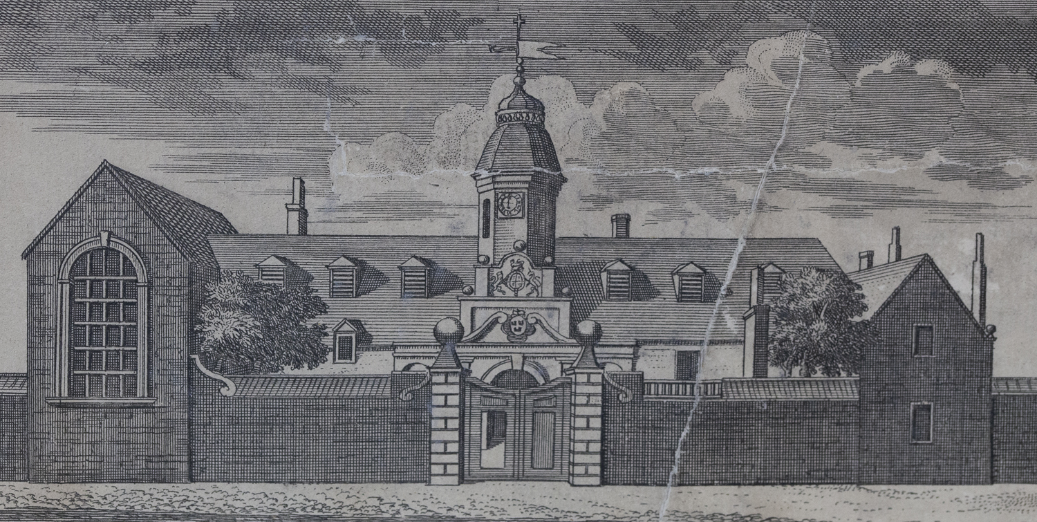
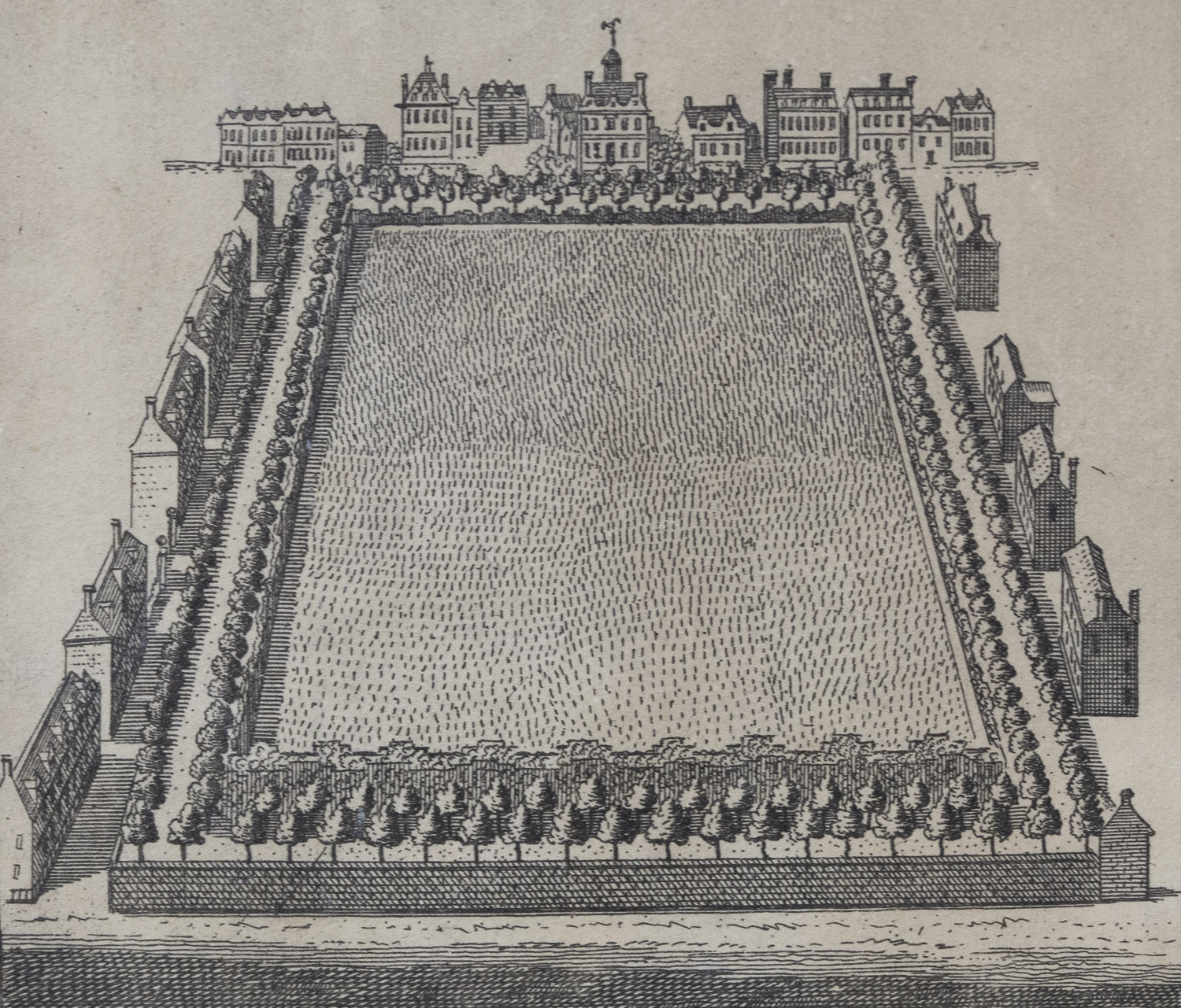
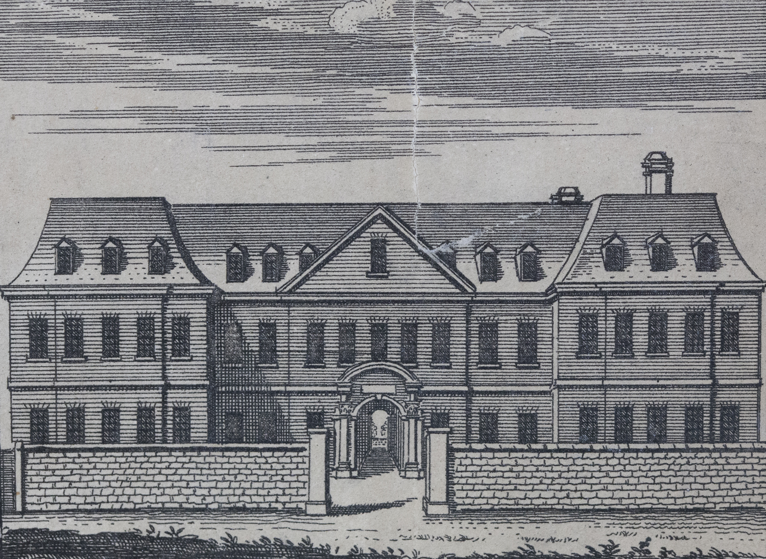
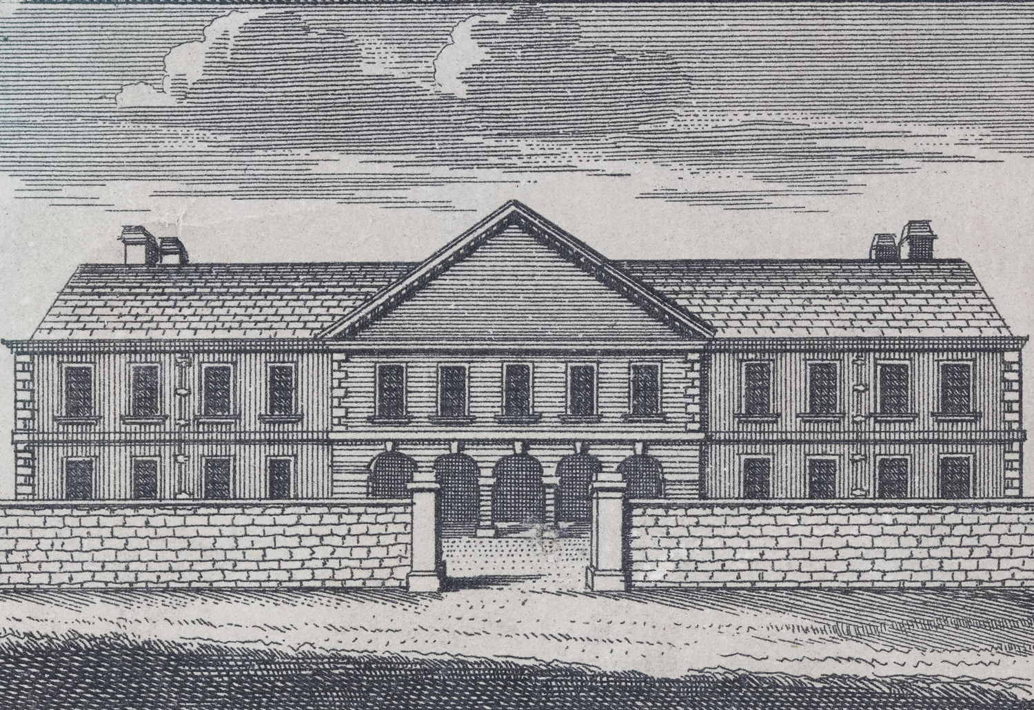
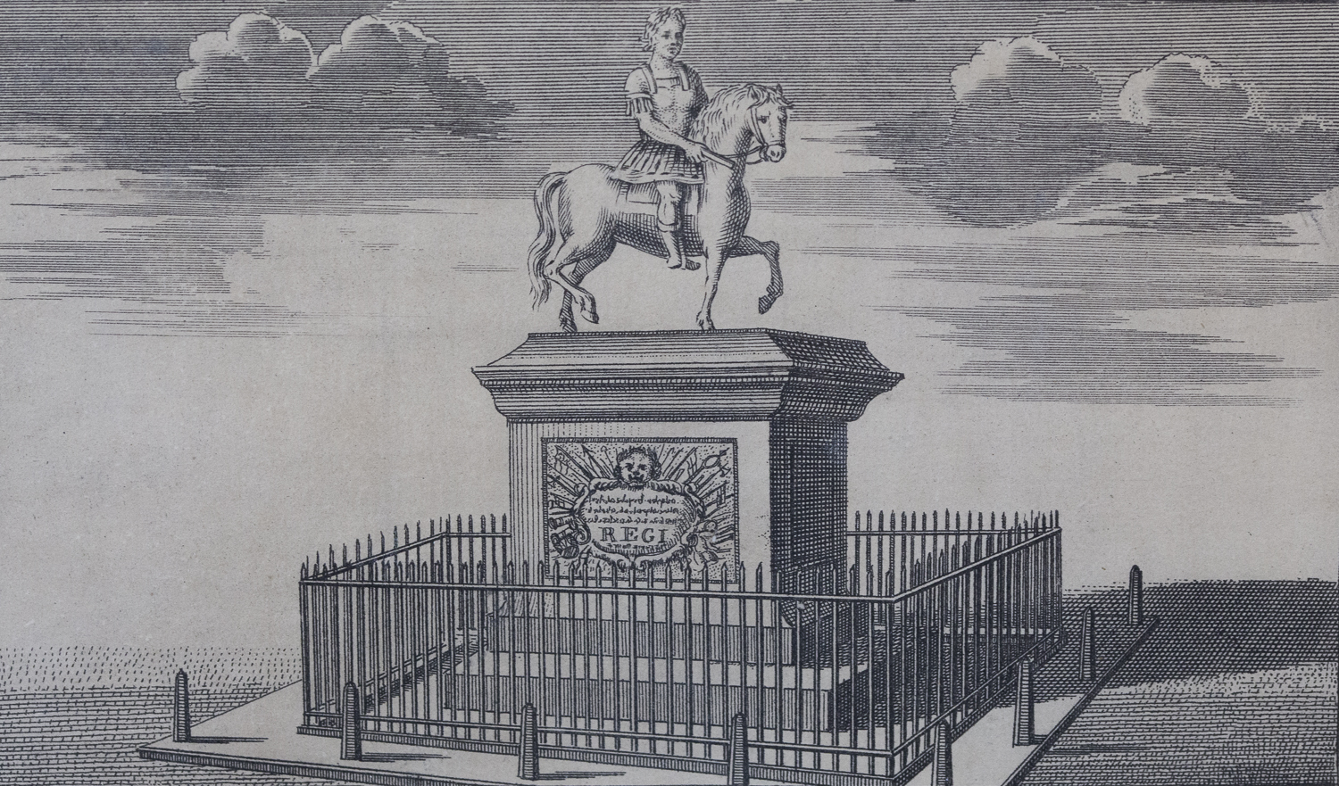
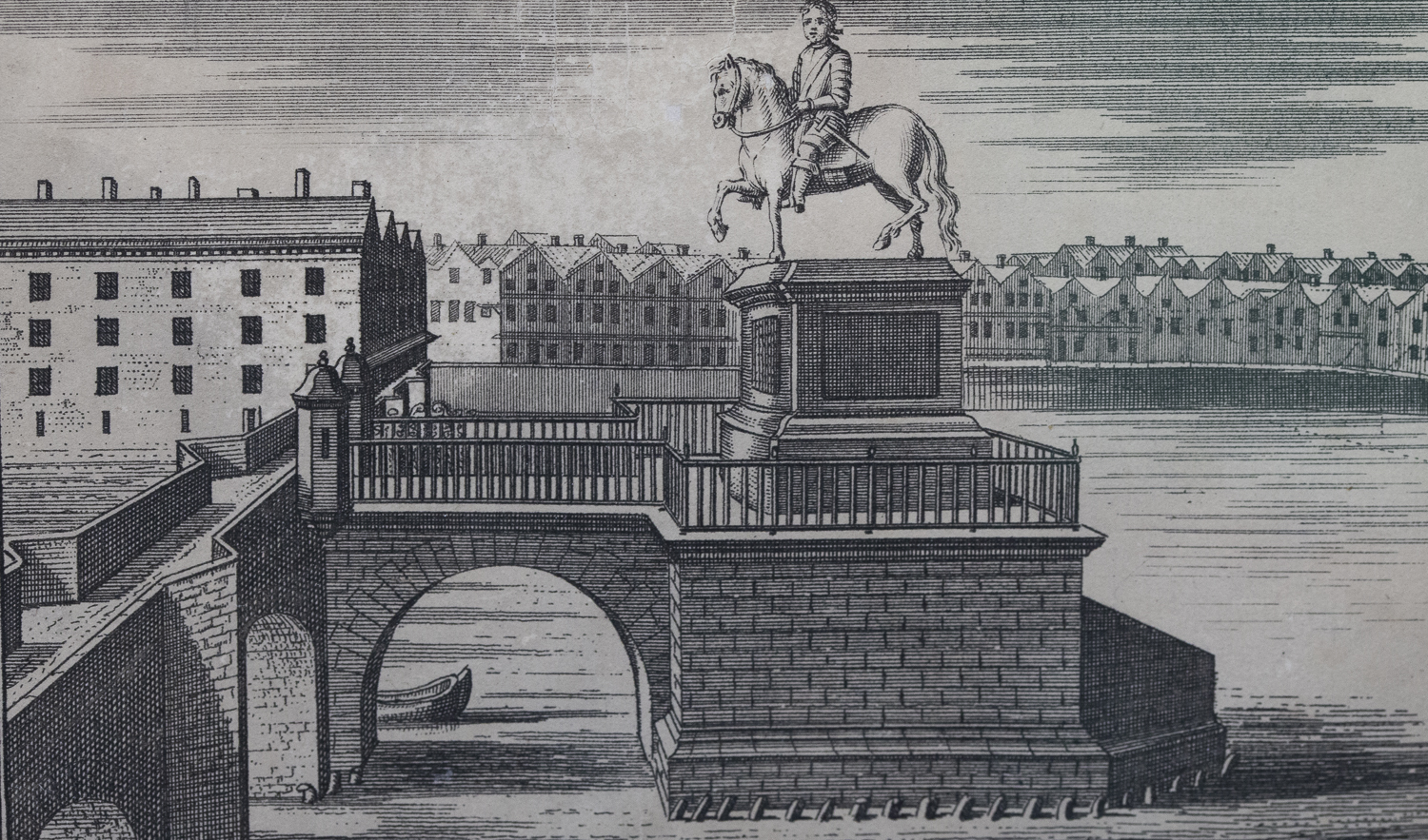
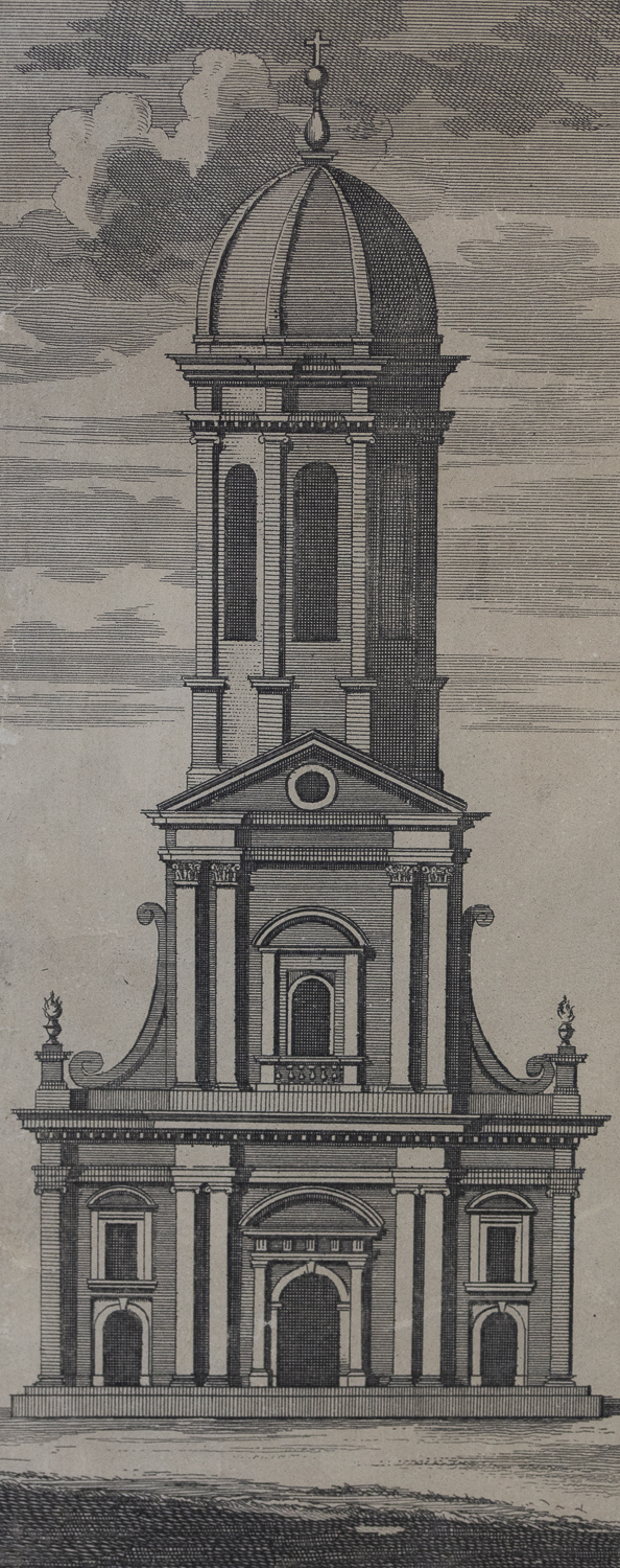
We found amongst the better known maps in the Dublin Port Archive collection this fine example of Charles Brooking’s Dublin panorama and map of 1728. It includes views of the principal public buildings and the crests of the city’s guilds. Brooking somewhat anticipated the completion of the North and South Walls but he gives a unique view of what they looked like before the land behind them was reclaimed. East Wall Road still follows the line of the original wall shown on this map. Many of the buildings shown on each side of the map are still standing but the statue of George I on Essex Street, now Capel Street or Grattan Bridge, was removed and re-erected in Britain.


Related Articles
Help us with the Archive
You can help us to preserve Dublin Port’s rich archival heritage by
donating items or seek advice from us on items in your safekeeping.
Get in touch by completing the contact form below.
We’d love to hear from you!
